
The Great Plains Trails Network is a nonprofit organization which advocates and supports a network of trails in Lancaster County and throughout the state of Nebraska. The trails have many uses including bicycling, jogging, hiking, walking, horseback riding, skiing, transportation, recreation and physical fitness. The purposes of the Network are to support a master plan for trails adopted by public officials, to seek financial support through public and private sources, and to provide opportunity for the community to learn more about trails, their value and appropriate use.
-
All memberships include quarterly newsletters with a calendar of trails events, updates on trails news, and tips for trail users.
-
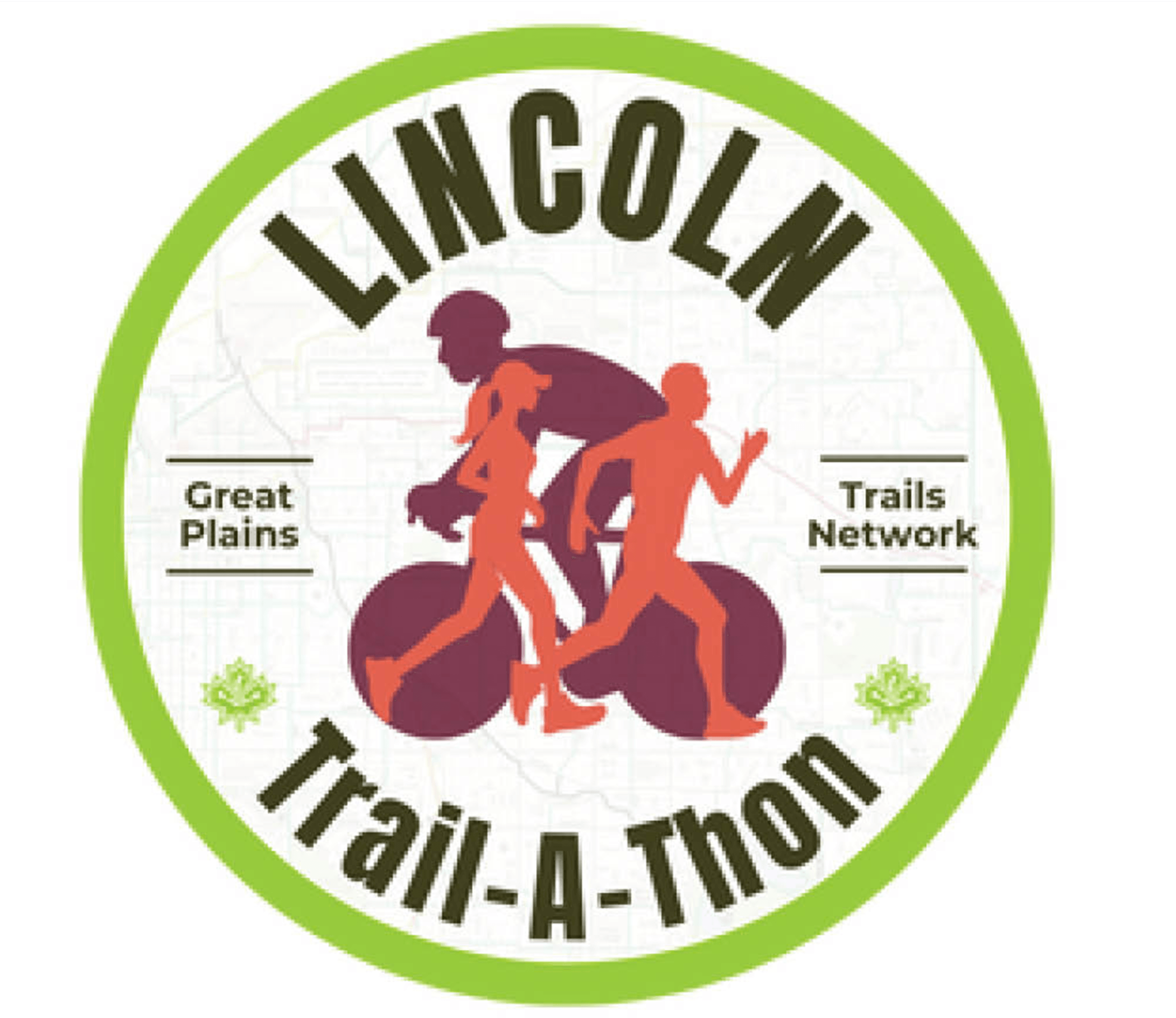
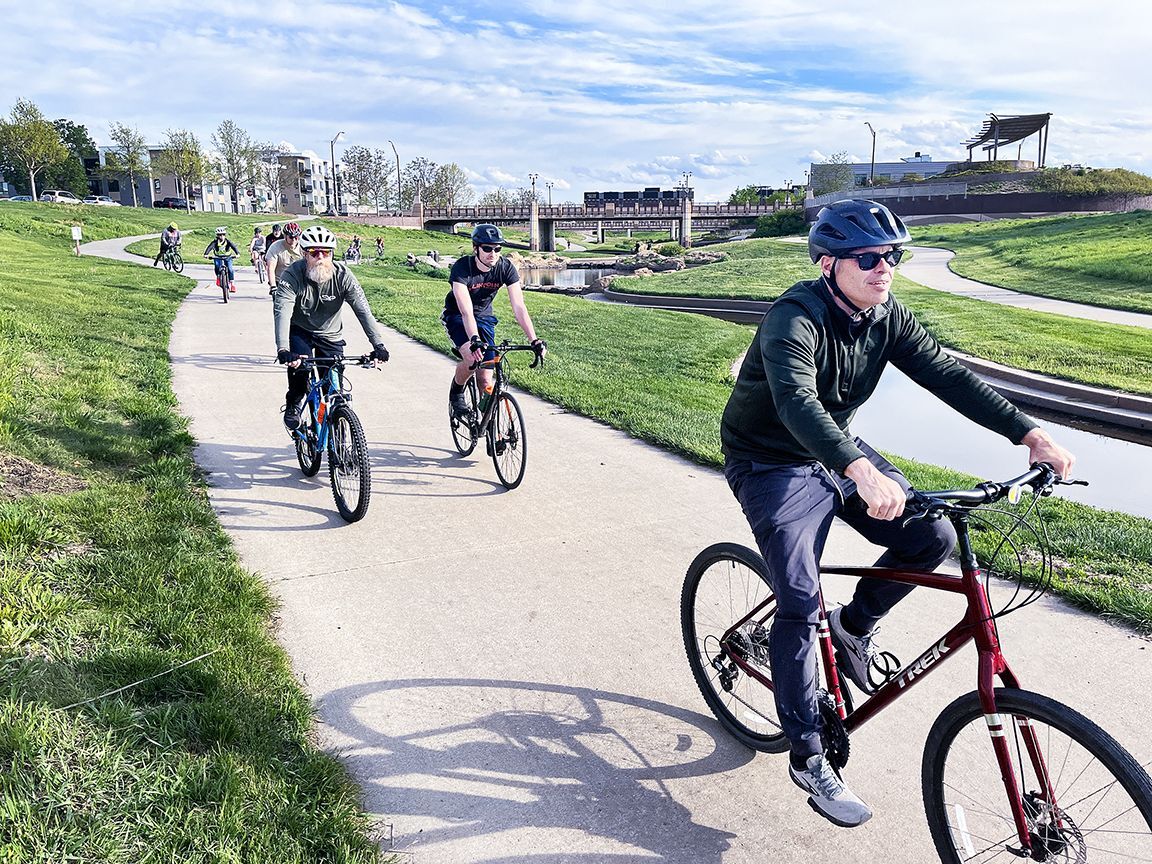
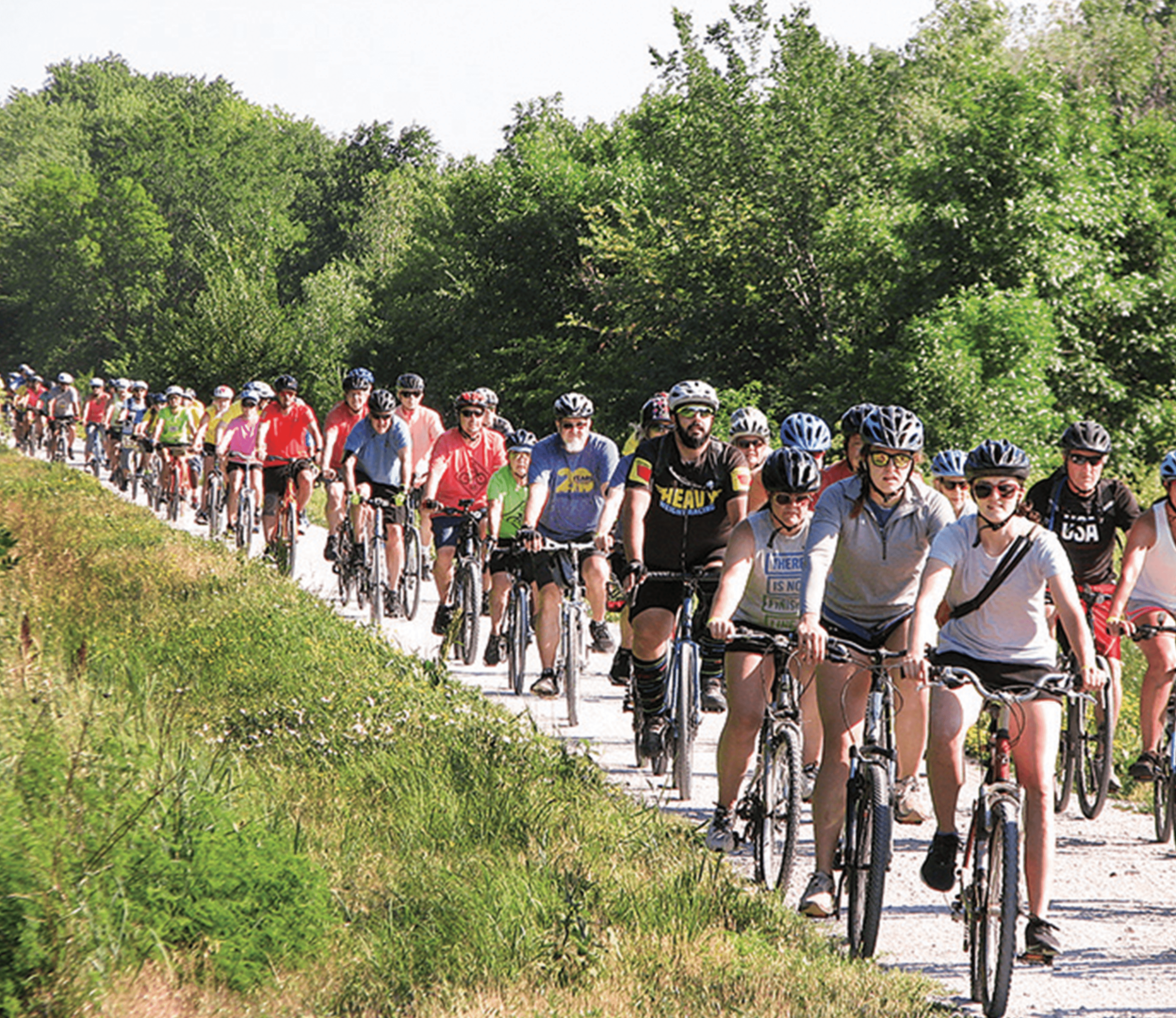
The Lincoln Trail-A-Thon is back and better than ever! This year-long challenge is designed to inspire the community to stay active and explore all 92 miles of Lincoln’s scenic trails. Whether you choose to ride, run, jog, or walk, you’ll experience the beauty and diversity of our trail network—all while supporting a great cause.
-

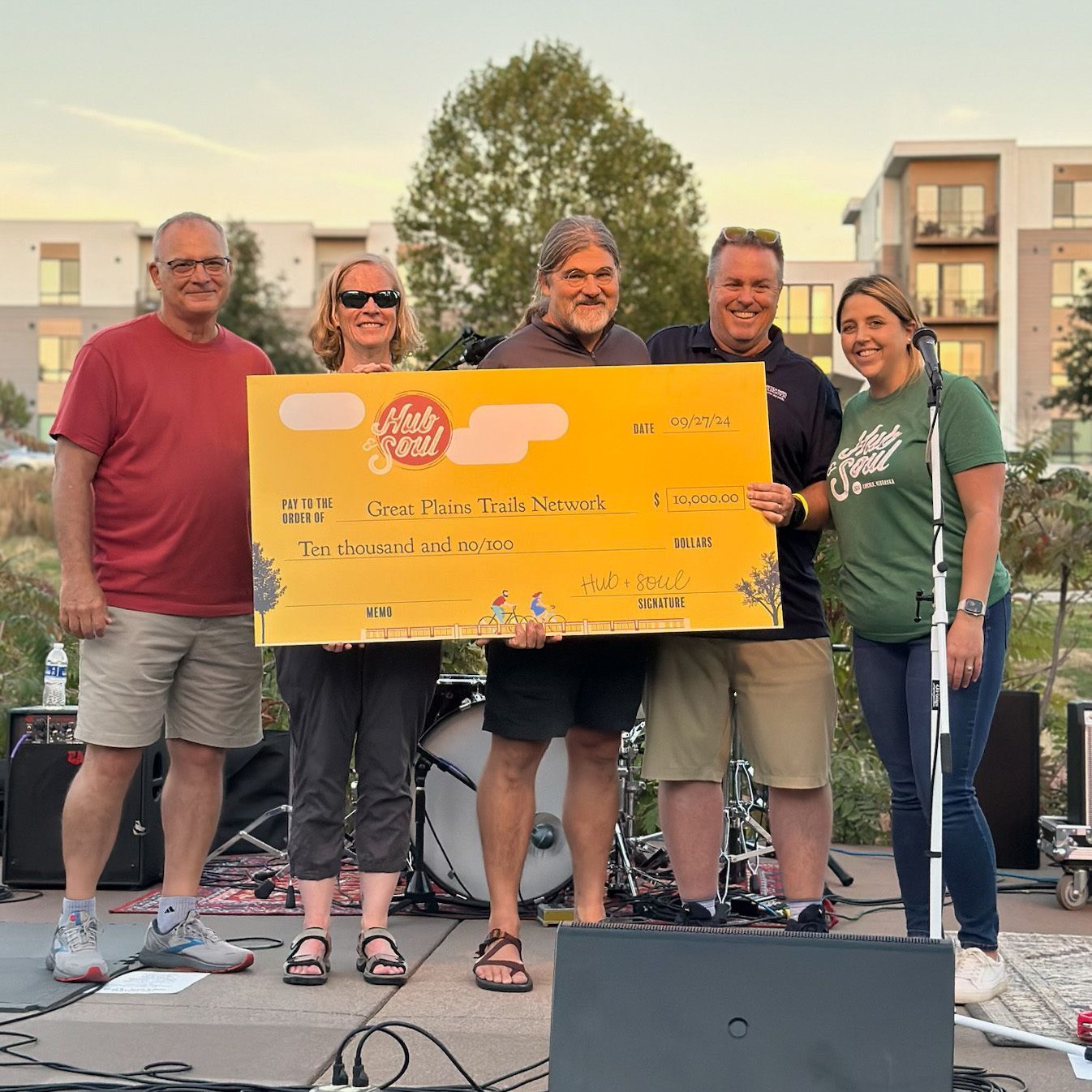
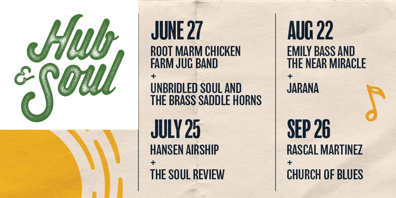
Hit the trails and follow the beats to Union Plaza. Hub & Soul 2025 will take place the following Fridays: June 27, July 25, August 22, and September 26. Event entry is free, but there will be great food available from the Hub Cafe and other local food trucks. We invite you to come down for the beats, brews and bites, but if you love the trails we need volunteers to help with set up, tear down, ticket taking, and gate management.
Current fundraising efforts are focused on exciting projects including the Prairie Corridor on Haines Branch and the Wilderness Park Master Plan. We are helping Lincoln Parks and Recreation Department raise funds that will enhance the trail accessibility.
Great Plains Trails Network
Updates coming soon.